
| 6,000 m range |
| Distance, Azimuth and Elevation measurements |
| Measurements between two objects |
| Rugged and compact design |
| Android™/Bluetooth Compatible |


NSN#: 1240-20-011-6212
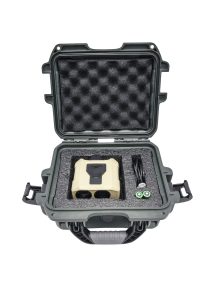
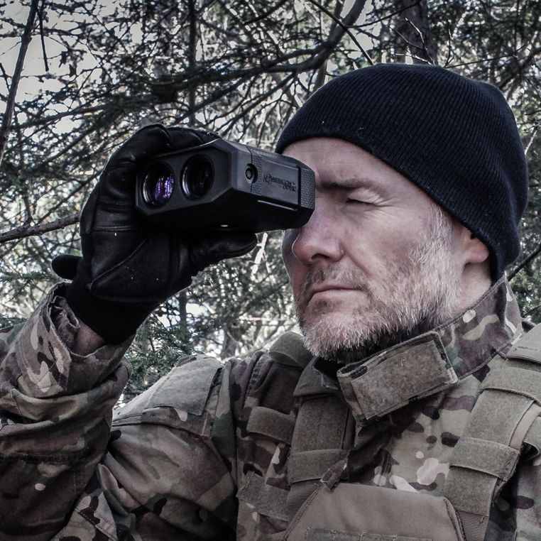
The LRM 3500M-35C is the world’s most advanced miniaturized laser rangefinder monocular. Weighing just 460 grams, the LRM 3500M-35C is capable of measuring distance to targets out to 6 kilometers, but what truly sets this device apart from the rest is its built-in Bluetooth capability, Kestrel ballistic calculator, digital magnetic compass, inclinometer, bright LED display, and fully ruggedized design. Users can now communicate with the LRM 3500M-35C using Newcon Optik’s new NC Cronus app. The LRM 3500M-35C is the ideal tool for professionals who depend on the accuracy and ruggedness of their equipment to get the job done.
This device is compatible with:
![]() Android™
Android™ ![]() Bluetooth™
Bluetooth™ ![]() Ballistic app
Ballistic app ![]() NC Cronus™
NC Cronus™ ![]() CivTAK/ATAK
CivTAK/ATAK
| 6,000 m range |
| Distance, Azimuth and Elevation measurements |
| Measurements between two objects |
| Rugged and compact design |
| Android™/Bluetooth Compatible |
|
Part Number |
NC-35C |
|
Optics |
|
|
Magnification (x) |
6.5 |
|
Objective lens diameter (mm) |
30 |
|
Field of view (°/mil) |
7/124 |
|
Eye relief (mm) |
20 |
|
Diopter adjustment range |
±5 |
|
Rangefinder |
|
|
Eye safety |
Class 1, eye-safe |
|
Peripheral Compatibility |
PLGR, Bal Comp, AFS, PC, BT, AndroidTM, Available plug-ins for CivTAK/ATAK |
|
Wavelength (nm) |
1550 |
|
Measuring distance range (m) |
10 – 6,000 |
|
Specified measuring distance range (m)* |
10 – 3,500 |
|
Specified range to a man size target (m) |
10 – 1,500 |
|
Inclinometer range (mils) |
±1420 |
|
Distance measurement accuracy (m) |
±1 |
|
Distance units |
m/yds |
|
Azimuth measurement accuracy (mils) |
±10 |
|
Inclination measurement accuracy (mils) |
±5 |
|
Speed detection |
– |
|
Magnetic declination correction (mils) |
1 |
|
Compass & inclinometer units |
°/mils |
|
Power-on time (sec) |
< 1 |
|
FOS (Fall of shot) |
Yes |
|
First/last target logic |
Yes |
|
Target discrimination (m) |
50 |
|
Scan mode |
Yes |
|
Last 10 readings recall |
Yes |
|
Distance between objects |
Yes |
|
Horizontal distance between objects |
Yes |
|
Azimuth difference between objects |
Yes |
|
Inclination difference between two objects |
Yes |
|
Height difference between objects |
Yes |
|
Etched reticle step (mils) |
1 |
|
Etched reticle range horizontal/vertical (mils) |
120/60 |
|
User GPS coordinates |
– |
|
Target GPS coordinates |
– |
|
GPS coordinates format |
– |
|
Mechanics, Electronics & Environmental |
|
|
Display type |
Customized Matrix Red OLED |
|
Interface |
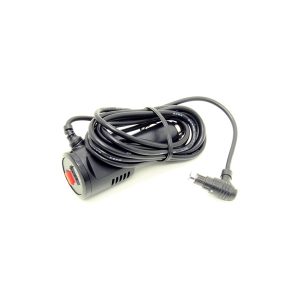
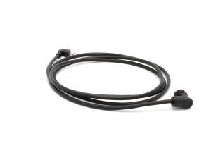
USB, RS232, Bluetooth |
|
DAGR communication |
Yes |
|
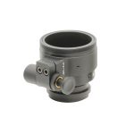
Dimensions with no sleeve (mm) |
118x107x54 |
|
Weight without batteries (g) |
460 |
|
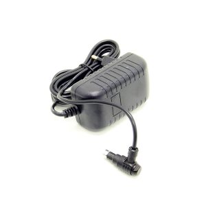
Power supply |
Non-magnetic 2x CR123 Lithium batteries |
|
Battery life (# of measurements) |
5,000 |
|
Low battery indicator |
Yes |
|
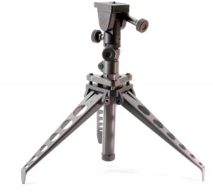
Tripod mountable |
Yes |
|
3-axis digital compass |
Yes |
|
Compass calibration & validation |
Yes |
|
Operating temperature range (°C) |
-35 to +65 |
|
Storage temperature range (°C) |
-40 to +85 |
|
Waterproofing |
MIL-STD-810G (1m/30min) |
|
Mechanical & optical compatibility with NVS14 and PVS14 night vision devices |
Yes |
*2.3×2.3m NATO standard target